
 19 min
Documentary
How Did Tutankhamun Die? 5 Clues Hidden in His Mummy
How did Tutankhamun die? Five clues from a century of X-rays, CT scans and DNA tests, from the "blow to the head" to malaria and a rushed burial.
Fly over the desert valley where the New Kingdom pharaohs were buried and watch their tombs appear, one reign at a time.
Drag to turn the valley, scroll or pinch to zoom and tap a marker to open a tomb. Search by owner or tomb number, filter by type, decoration and valley, and press play on the timeline to see the tombs appear in the order they were begun, from Thutmose I around 1500 BCE to Ramesses XI, or in the order they were found, from antiquity to KV63 and KV64, found in this century.
The terrain comes from the Copernicus GLO-30 elevation model, a satellite survey with a cell size of about 30 metres, so the valley floor and the peak of el-Qurn are real while the smallest ridges are smoothed. Tomb entrances use published coordinates where they exist and positions fitted from survey maps elsewhere; each tomb says which. Dates follow the standard chronology for the 18th, 19th and 20th Dynasties.
To go inside, open the tomb pages with 3D models and plans:KV62 Tutankhamun, KV17 Seti I,KV7 Ramesses II, KV34 Thutmose III andKV43 Thutmose IV, or see the 18th Dynasty that started the royal cemetery.
Documentary · 23 min · 11 Oct 2026 · 9 chapters
How the New Kingdom tomb builders of Deir el-Medina planned, cut and painted royal tombs deep into the limestone of the Valley of the Kings.
Playlist: Ancient Engineering
19 minDocumentary
How did Tutankhamun die? Five clues from a century of X-rays, CT scans and DNA tests, from the "blow to the head" to malaria and a rushed burial.
 19 min
Documentary
Tutankhamun's two trumpets, the 1939 BBC broadcast and the legend of a cursed note, tested against the evidence, and the temple music of harps and sistra.
 1 h 55 min
History for Sleep
A slow walk through the twelve hours of the night in the Duat and the spells of the Book of the Dead, from the Pyramid Texts of Unas to the tomb of Thutmose III.
 26 min
Documentary
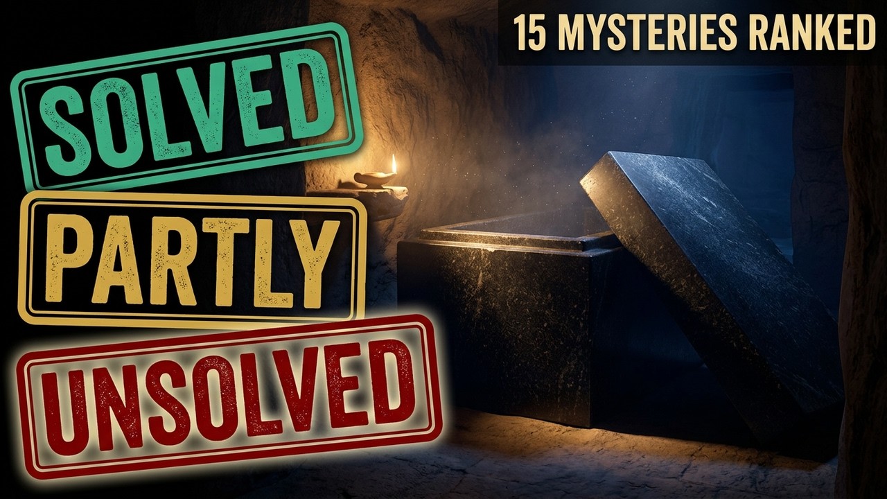
Fifteen famous ancient Egypt mysteries ranked from solved to genuinely open, each with a verdict based on the evidence.
 2 h 26 min
History for Sleep
A slow, calm walk through every dynasty of ancient Egypt — from Narmer to Nectanebo II — read one name at a time, for sleep.
 24 min
Documentary
Every royal pyramid was broken open and emptied. Nine hundred years of pyramid building treated as an engineering programme — and why it was shut down.
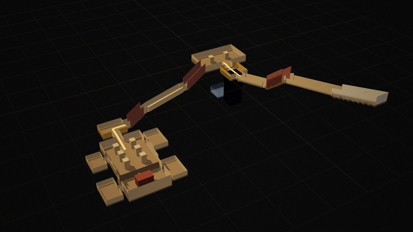
KV34
Cut high in a cleft of the cliffs and reached by a steep stair, KV34 was designed to be hidden. Its oval burial chamber is painted with the complete Amduat, the guide to the sun…
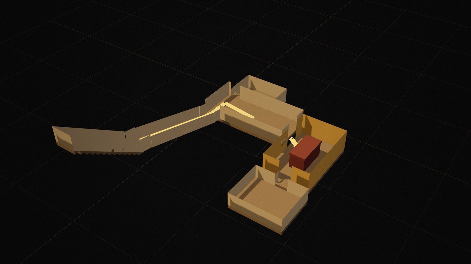
KV43
Thutmose IV, father of Amenhotep III, was buried in a tomb whose axis bends twice at right angles, a layout typical of the mid 18th Dynasty. Only two rooms were painted: the well…
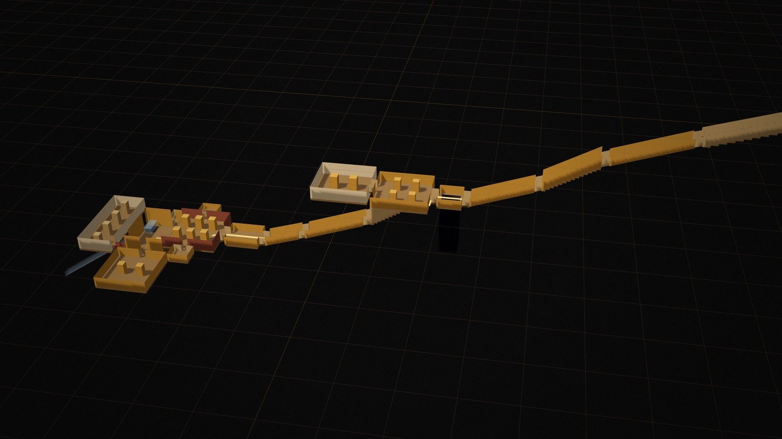
KV62
Small for a royal tomb, KV62 may originally have been prepared for someone else and adapted after the king's early death. Only the burial chamber is decorated, with scenes…
KV17
Seti I, father of Ramesses II, commissioned the most ambitious tomb in the valley. The Theban Mapping Project describes it as the longest and deepest tomb in the valley, and…
KV7
One of the largest tombs in the valley, KV7 was visible in antiquity but has been repeatedly flooded, leaving its decoration badly damaged. A French mission led by Christian…
 Interactive
 · Simulation
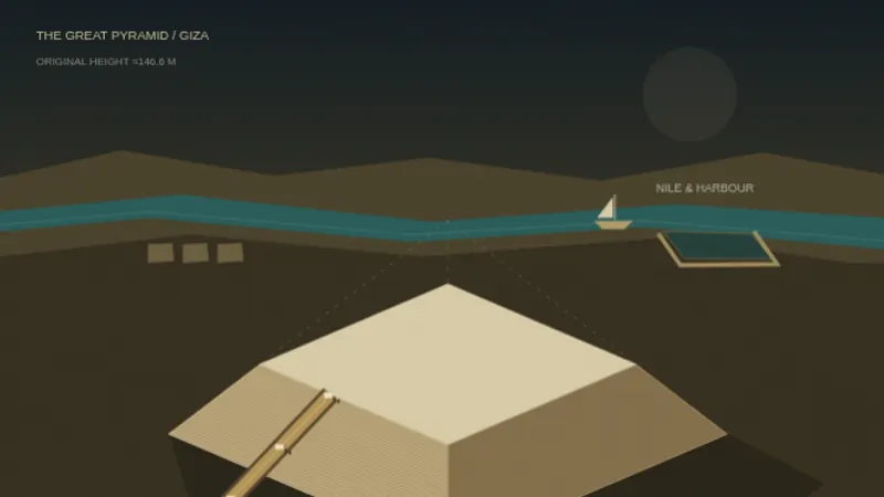
Choose a ramp theory, a workforce and wet or dry sand, and see whether you can finish the Great Pyramid within Khufu’s reign.
 Interactive
 · City-builder
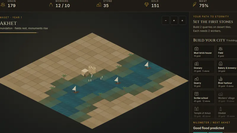
Found a city on the Nile, live through the flood seasons, keep Ma’at in balance and raise a pyramid. Free in your browser.